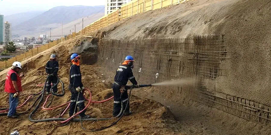
Seattle builders sometimes treat a steep site like any other flat lot, right up until winter rains saturate the ground and a rotational slump takes out the access road. That gamble gets expensive fast. The city’s glacial history left behind a complex layering of Vashon till, advance outwash sands, and lacustrine silts—each reacting differently to pore pressure buildup during the six-month wet season. A proper slope stability analysis maps those layers before excavation starts, factoring in the 40-plus inches of annual precipitation that routinely triggers shallow failures on Queen Anne and Beacon Hill. When the stratigraphy includes loose saturated lenses, combining the analysis with CPT testing gives continuous pore pressure data without the disturbance of traditional sampling, and in areas where fill has been placed over native colluvium, vibrocompaction techniques can densify the zone before benching begins.
Seattle’s glacial soils can lose over 60% of their peak shear strength when remolded by groundwater—a factor that routine bearing capacity checks simply won’t catch.
Local ground factors
Seattle’s most notorious landslide, the 1997 Perkins Lane failure in Magnolia, displaced over 300,000 cubic yards of material after heavy rain saturated the contact between permeable outwash and underlying impermeable Lawton Clay. That same geologic contact exists across much of the city’s coastal bluffs, from Discovery Park down to West Seattle. The risk isn’t limited to waterfront property. The Washington Geological Survey maps show deep-seated landslide deposits throughout the I-5 corridor south of downtown, and many mid-slope neighborhoods sit on ancient colluvium that can reactivate if grading changes the toe support. Even a modest five-foot cut at the base of a 2H:1V slope can reduce the factor of safety below unity if the excavation intercepts a silt seam acting as a natural shear plane. Seattle’s Department of Construction and Inspections now requires a geotechnical peer review for critical slopes steeper than 40 percent, and the analysis must demonstrate stability under both static groundwater and the design seismic event.
Frequently asked questions
What does slope stability analysis cost for a Seattle residential lot?
For a typical single-family lot on a moderate slope in Seattle, a complete slope stability analysis including drilling, laboratory shear testing, and limit-equilibrium modeling runs between US$1,390 and US$4,130 depending on slope height, access constraints, and whether seismic analysis is required by SDCI.
When does Seattle require a slope stability analysis for a building permit?
SDCI triggers the requirement under the Environmentally Critical Areas code when slopes exceed 40 percent grade or when construction is proposed within the landslide hazard zone mapped by the Washington Geological Survey. The analysis must be stamped by a licensed geotechnical engineer and demonstrate minimum factors of safety under both static and seismic conditions.
How does Seattle’s glacial geology affect slope stability differently than other cities?
Seattle’s signature risk is the contact between Vashon advance outwash and the underlying Lawton Clay. The outwash is permeable and transmits water rapidly; the clay is nearly impermeable. During prolonged rain, water ponds at the contact, building pore pressure that reduces effective stress and triggers translational slides. Few other U.S. cities have this exact stratigraphic trap at the depths where foundations and utilities are placed.