The seismic response beneath Pioneer Square differs dramatically from what you would measure up in Capitol Hill, and that variance is not just about distance from the Seattle Fault. Pioneer Square sits on artificial fill and soft alluvial deposits that overdeepen the Seattle Basin, while Capitol Hill's glacial till over consolidated clay produces a much stiffer site response. When we develop a seismic microzonation for projects in the Puget Lowland, we are essentially mapping how these abrupt geological transitions, from the Vashon advance outwash to the pre-Fraser deltaic sediments, will filter earthquake energy. The deep sedimentary trough that underlies downtown can amplify long-period ground motions by a factor of two to four compared to the bedrock reference, a phenomenon that standardized code maps often smooth over. Our work integrates deep borehole data, MASW surveys for Vs30 mapping, and basin-scale seismic refraction lines to capture the impedance contrasts that drive differential shaking across a single project site. This is how we address the fundamental question in local geotechnical practice: not just what the code says, but what the ground will actually do when the Cascadia Subduction Zone or the Seattle Fault ruptures.
The Seattle Basin can amplify long-period motions by a factor of three, making site-specific microzonation non-negotiable for performance-based design in the Puget Lowland.
Methodology and scope
In the Duwamish industrial corridor, we frequently encounter a hidden layer of post-glacial lacustrine clay that is so soft it fails the standard site class D criteria upon closer inspection, which can push a site into the more demanding site class E or F requirements. A Seattle microzonation study has to resolve these thin, low-velocity lenses because a code-default assumption could underestimate spectral acceleration at periods critical to mid-rise structures. Our methodology begins with calibrated
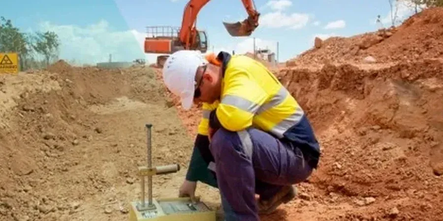
CPT testing to identify the continuous stratigraphy, particularly the transition from the Lawton Clay into the underlying Esperance Sand, where a sharp velocity contrast can trap seismic energy. We then incorporate
in-situ permeability assessments in the saturated deltaic deposits because liquefaction-induced pore pressure redistribution can trigger lateral spreading in zones that a simple SPT-based liquefaction trigger would miss. The analysis extends to evaluating how the Kobe-type basin edge effect, generated when waves enter the Seattle Basin at critical angles, influences the design spectrum for long-period structures. This means our ground motion predictions account for the azimuthal dependence of shaking, a nuance that is essential for performance-based design of essential facilities and tall buildings in the downtown core.
Regulatory framework
ASCE 7-22 (Minimum Design Loads for Buildings and Other Structures), IBC 2021 (International Building Code) – Chapter 16 Structural Design, Section 1613 Earthquake Loads, ASTM D7400 (Standard Test Methods for Downhole Seismic Testing), ASTM D5777 (Standard Guide for Using the Seismic Refraction Method), NIST GCR 12-917-18 (Seismic Design of Building Structures in the Puget Sound Region)
Frequently asked questions
What is the typical cost of a seismic microzonation study for a site in Seattle?
In the Seattle area, a comprehensive seismic microzonation study typically ranges from US$4,620 to US$16,730, depending on the number of boreholes, the depth of the geophysical array, and the complexity of the basin model. A small site with a single MASW line and one deep boring will fall on the lower end, while a large downtown parcel requiring 2D seismic refraction, downhole logging in multiple deep boreholes, and a full probabilistic seismic hazard analysis represents the upper range.
How does the Seattle Basin affect the seismic design of tall buildings compared to standard ASCE 7 maps?
The deep sedimentary trough of the Seattle Basin can amplify long-period ground motions (T > 1.0s) far beyond what the generic ASCE 7 maps predict, which are based on simplified ergodic assumptions. Our microzonation studies capture the basin edge effect, where trapped surface waves and resonance within the basin increase spectral acceleration demands on mid- to high-rise structures by 30 to 50 percent at periods critical to their fundamental mode.
What is the difference between a standard site classification and a full seismic microzonation?
A standard site classification (ASCE 7 Site Class A through F) is based solely on the average shear-wave velocity of the upper 30 meters, while a full microzonation maps the spatial variability of ground motion across the entire site and down to the basement rock. In Seattle, where the basin depth can exceed 6 kilometers, the upper 30m alone cannot capture the deep impedance contrasts that control shaking intensity; a microzonation resolves these deeper basin effects, liquefaction susceptibility, and fault rupture proximity.
How do you account for the Seattle Fault Zone in the microzonation?
We incorporate the most recent USGS rupture models for the Seattle Fault Zone, which runs directly beneath the city from Bainbridge Island through the Duwamish Valley. The analysis considers both the vertical deformation potential and the hanging wall effects using advanced ground motion prediction equations, producing a design spectrum that reflects the near-source pulse characteristics and directivity effects that would be absent from a smoothed code spectrum.